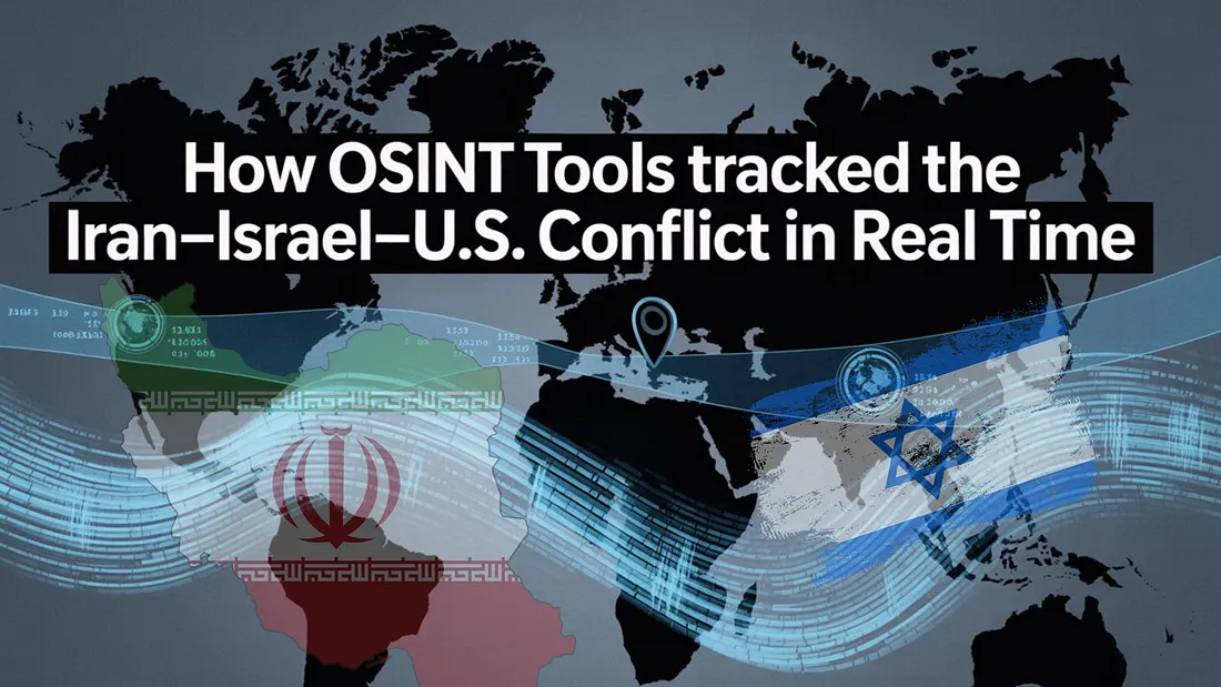
How OSINT Tools Tracked the Iran–Israel–U.S. Conflict in Real Time
In the high-stakes chessboard of Middle East geopolitics, traditional news cycles often fall behind real-time events. As the Iran–Israel–U.S. conflict escalated in June 2025, it wasn’t classified briefings or diplomatic cables that shaped public understanding — it was Open Source Intelligence (OSINT).
Across the globe, open-source analysts, journalists, and even civilians monitored the unfolding events with a toolkit of real-time, publicly accessible platforms. From satellite imagery to flight tracking, the digital battlefield lit up with insights. Here’s how the world watched a complex military confrontation in real time — through the lens of OSINT.
1. Satellite Imagery: Visual Confirmation from Orbit
Tools Used: Sentinel Hub, Planet Labs
When explosions were reported at Iran’s Natanz and Fordow nuclear facilities, speculation flooded social media. OSINT analysts turned to satellite platforms like Sentinel Hub and Planet Labs, accessing high-resolution “before-and-after” images that confirmed U.S. airstrikes.
These platforms provided more than just visuals — they delivered irrefutable evidence. Burn marks, debris patterns, and facility damage became forensic clues from space. In the absence of official statements, satellites became truth-tellers.
2. Social Media Verification: Civilian Eyewitness, Analyst Precision
Tools Used: GeoConfirmed, InVID, Telegram, X (formerly Twitter)
While state channels remained quiet, Iranian civilians uploaded videos of the blasts near Isfahan. Enter GeoConfirmed — a decentralized group of geo-locators and fact-checkers. Using metadata, visual landmarks, and GPS triangulation, they confirmed the authenticity and locations of the footage within hours.
Platforms like InVID allowed analysts to dissect video files, validate timestamps, and reverse-search thumbnails. Telegram and X (Twitter) became the primary social theaters where digital sleuths and global citizens collaborated live.
3. Internet Activity & Censorship Monitoring: The Digital Pulse of War
Tools Used: NetBlocks, Liveuamap
As missiles flew, another war began — on the internet. NetBlocks, a leading authority on internet governance and shutdowns, tracked connectivity dips across Iran. Massive drops in service around Isfahan and Tehran suggested deliberate communication blackouts by the state, corroborating claims of internal instability.
Liveuamap, a dynamic real-time conflict tracker, mapped these network collapses alongside troop movements and missile trajectories. Every internet glitch became an insight.
4. Real-Time Military Tracking: Eyes on the Sky
Tools Used: ADS-B Exchange, Liveuamap, Maltego
Perhaps the most cinematic moment of the conflict came when OSINT trackers followed U.S. B-2 stealth bombers and Israeli Iron Dome intercepts live via ADS-B Exchange — an open database of aircraft transponders.
Despite military attempts at discretion, many aircraft leave digital trails. Analysts cross-referenced these trails with activity maps from Liveuamap and Maltego’s network visualizations, offering a virtual radar over the Gulf region. Armchair generals and defense experts alike followed every sortie in near real-time.
Conclusion:
What was once the domain of classified intelligence is now within reach of anyone with a browser and the right tools. June 2025 reaffirmed a powerful truth: OSINT is not just supplementary — it’s central to understanding modern conflict.
From orbiting satellites to Telegram groups, the global OSINT community unraveled a multi-nation military event as it happened. In doing so, they didn’t just inform the world — they changed the narrative power structure itself.
Stay updated. Stay skeptical. Stay open source.Follow OSINT JOURNO for deep dives into OSINT, defense intelligence, and digital geopolitic